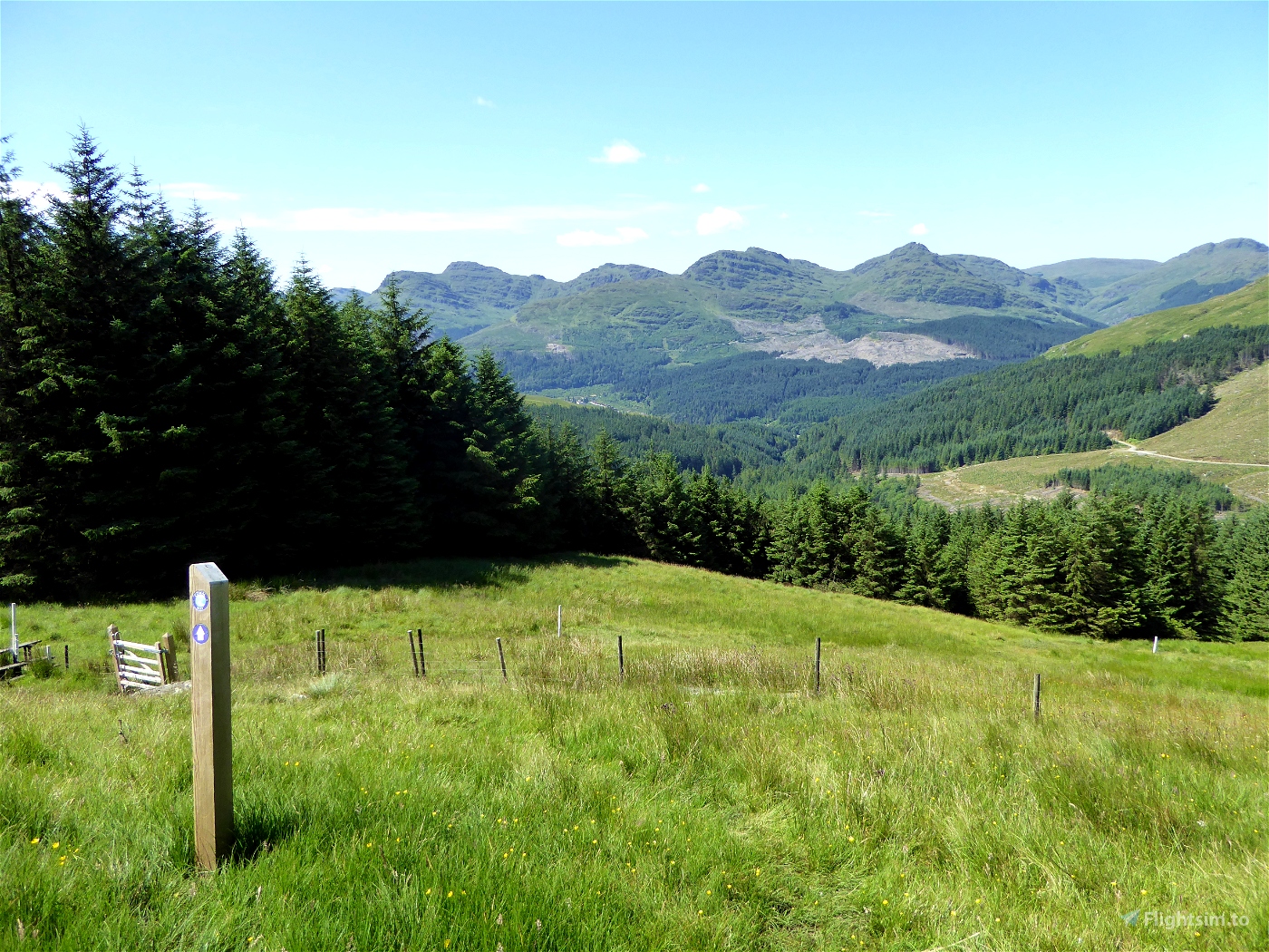
This route is 57 miles by foot, 69 nautical miles in the sim. It’s great for pure VFR flying because you can triangulate your rough position by the lochs in view. The trail is also visible from the air. Try to gauge your position in Little Navmap or SkyVector if you aren't loading the flight plan into the sim.
(For those not in the know, Cowal is a peninsula in Argyll and Bute, Scotland.)
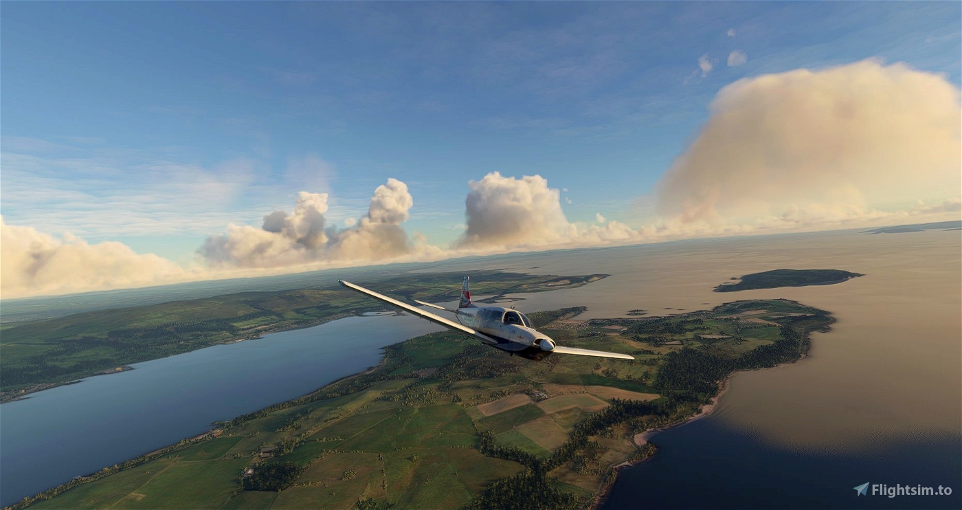
We depart from Bute (EGRT). I’m not sure if it’s in the sim by default, but there’s a free add-on for it here.
Once airborne, we turn northwest and make our way to the trailhead at Portavadie in Argyll. Turning inland, our next way point is on the western shores of Loch Ruel, just north of its confluence with the Kyles of Bute.
Turning due north, we follow the A8003, firstly, then the A886 roads for about six miles.
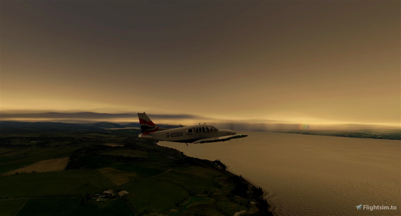
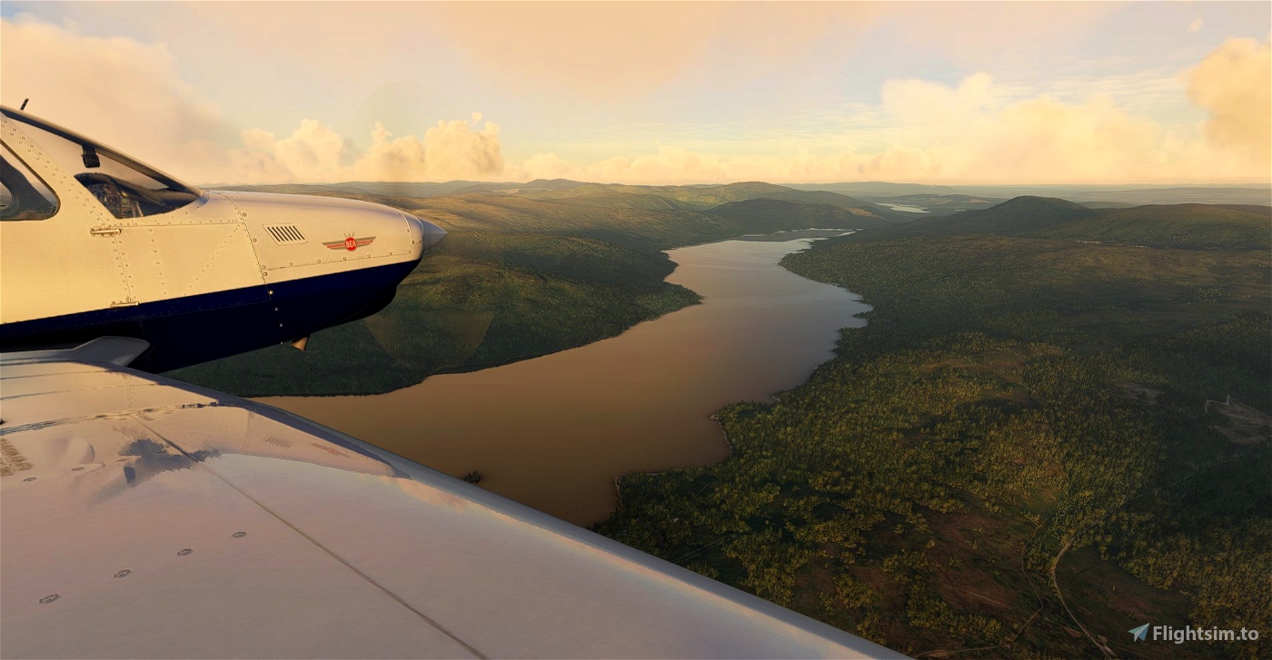
Loch Fyne (note the name of a nearby waypoint) is on our left and Ben Mhor is on the right as we turn northeast.
At the northern tip of Loch Eck, we turn northwest again briefly for Strachur, then east as we wind our way towards Loch Goil.
Looping around the tip of the loch, at Lochgoilhead, we continue east for Loch Long.
Passing northeast over Ardgartan Holiday Park, we continue for about five miles.
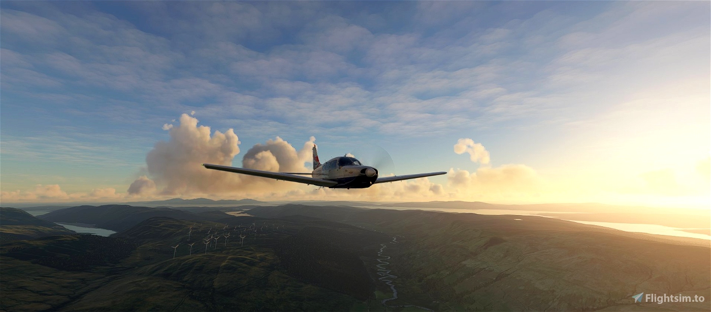
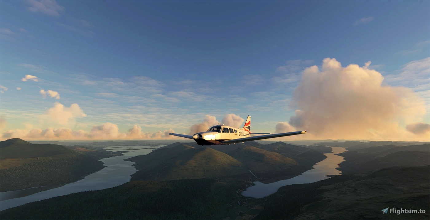
With Ben Vorlich in view, it’s a turn east as we fly over Inveruglas on Loch Lomond, then over the Trossachs National Park.
About ten lochs are in view as we fly direct to our destination, Thornhill Airfield (EGKM). It took me about ten minutes to find it, even after using Lake of Menteith as my guide. Best of luck.

 newtestleper

