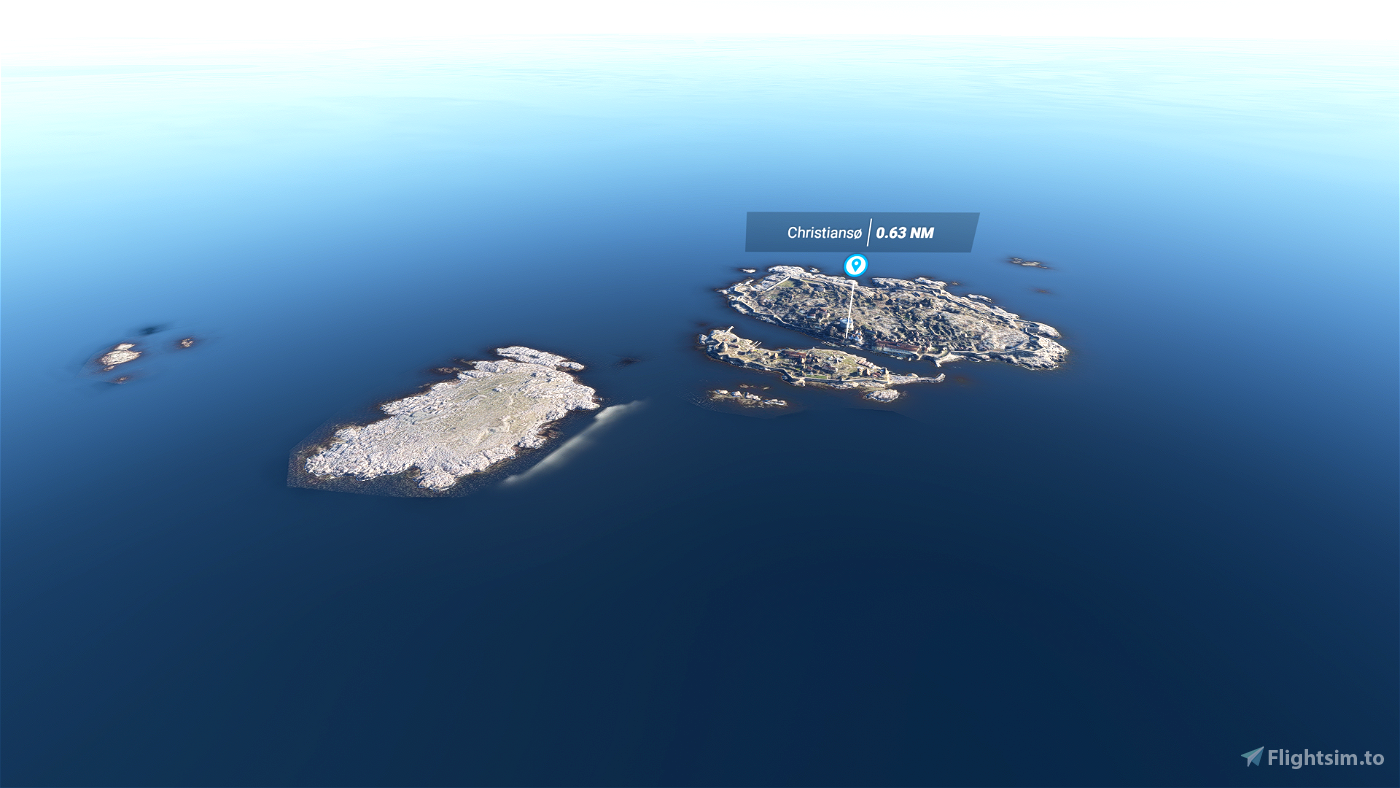
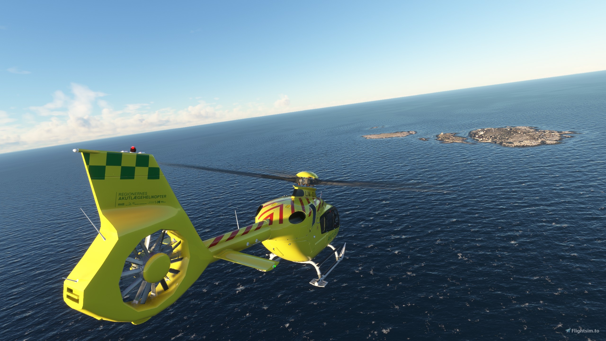
Included in this scenery are the Archipelago of Ertholmene, more commonly referred to as Christiansø though that is actually only the name of the largest of the islands. The islands are the most eastern point in Denmark and lie roughly 10 Nm north-east of the island of Bornholm at 55° 19′ 14″ N, 15° 11′ 4″ E . The islands has been inhabited since 1684, but have been used as a temporary shelter all the way back to the middle ages.
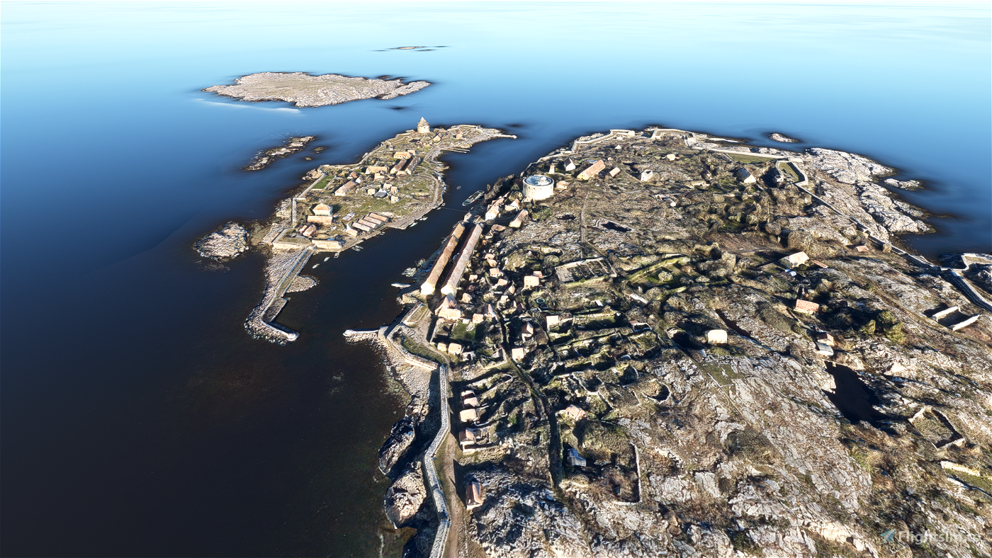
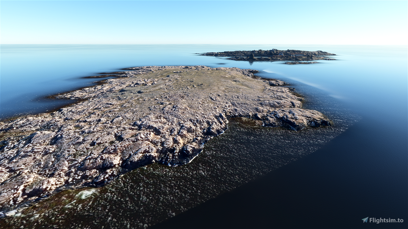
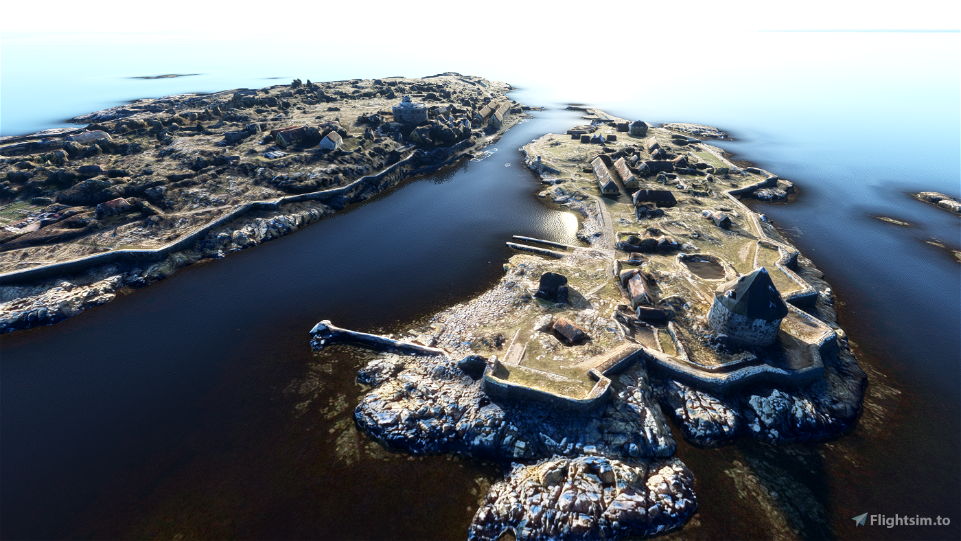
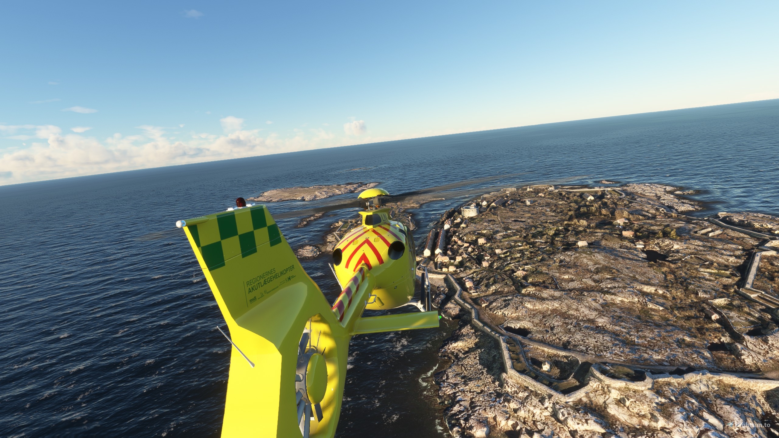
The scenery is custom made photogrammetry models utilizing freely and publicly available data from kortforsyningen.dk and also includes a bit of night lightning. You sadly can’t land on the islands without clipping through the model, as I have not been able to get collisions for the models to work, if I do manage that I’ll update the scenery accordingly.
Christiansø/Ertholmene


Would it be possible to get you to look at the collision again?
2 years ago
Egegaard
Like the real thing.
3 years ago
Penz
3 years ago
Ras1464
Tak for hurtigt svar.!
3 years ago
MrMiyagi
Kan du sige hvordan man anvender data fra Kortforsyningen.dk til at lave photogrammitry over områder der ellers ikke har det?
3 years ago
3 years ago
Truelz
MrMiyagi
3 years ago
QRangge
3 years ago
QRangge