

Welcome to chapter three of our bush trip across Alaska!
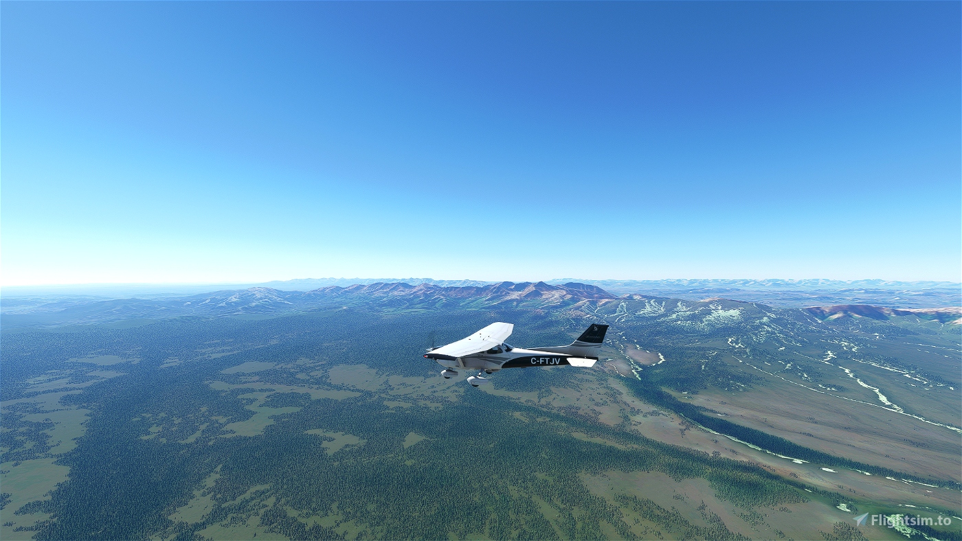
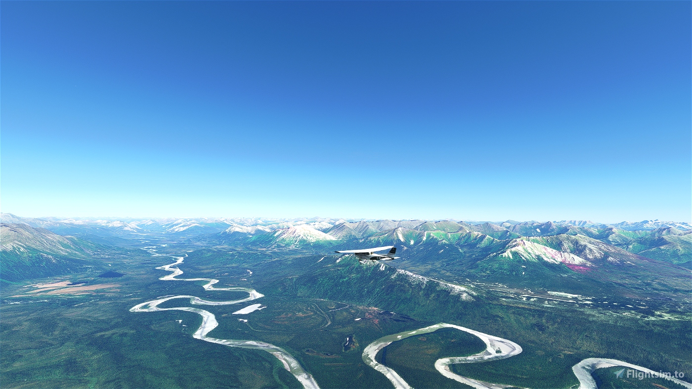
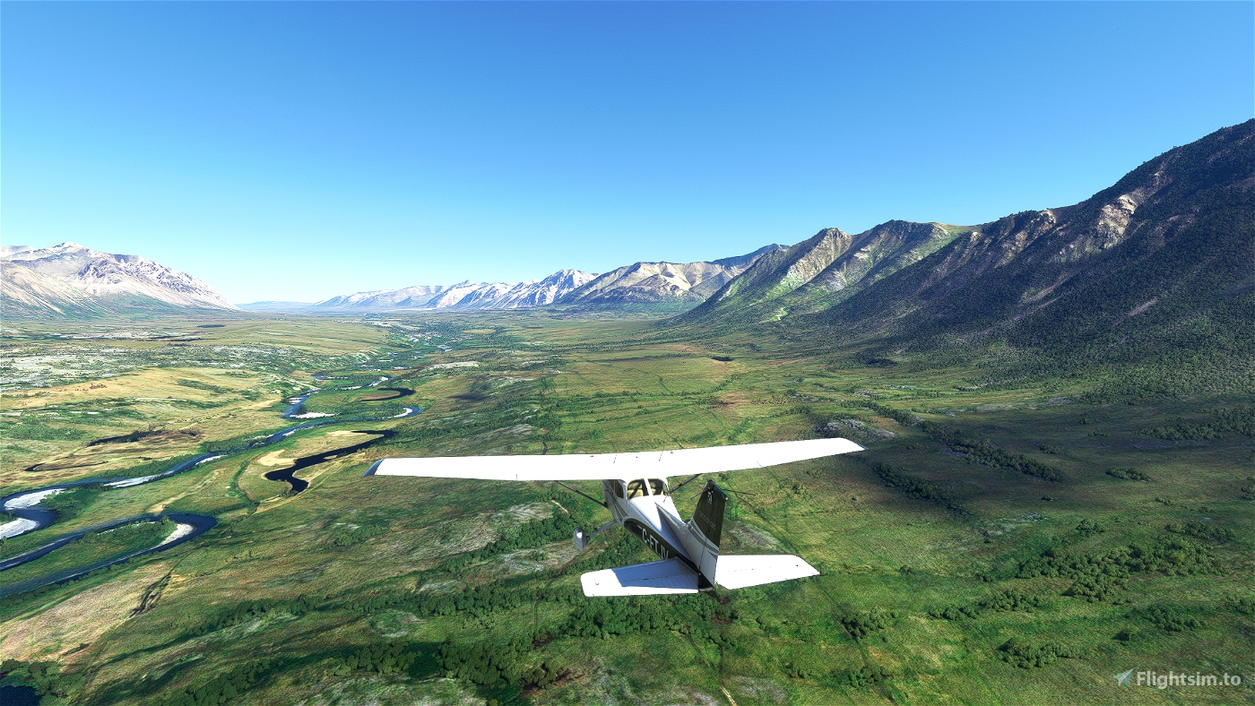
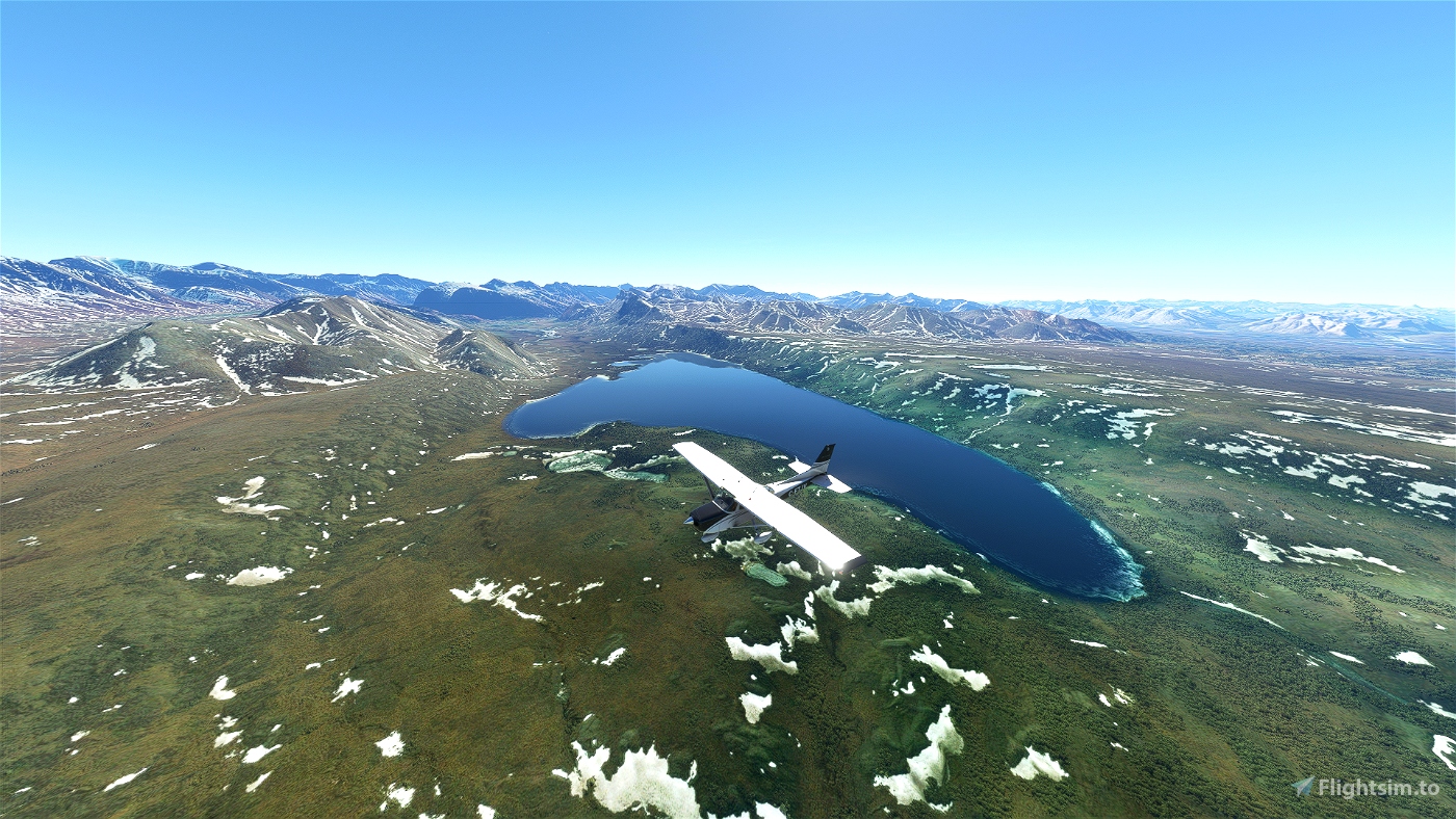
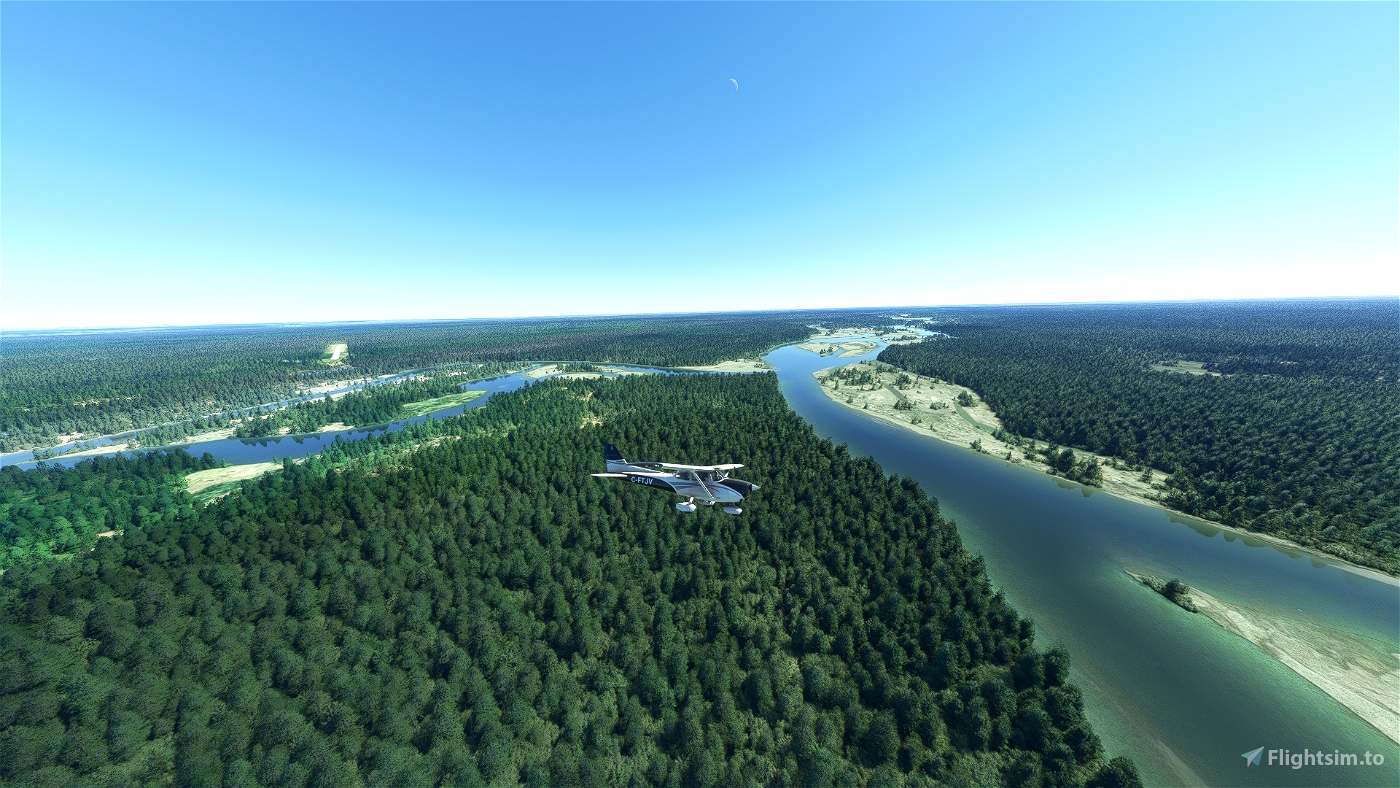
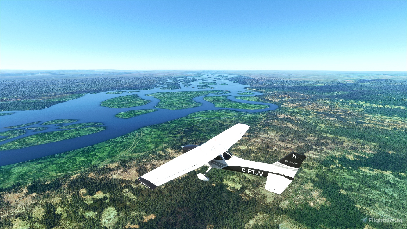
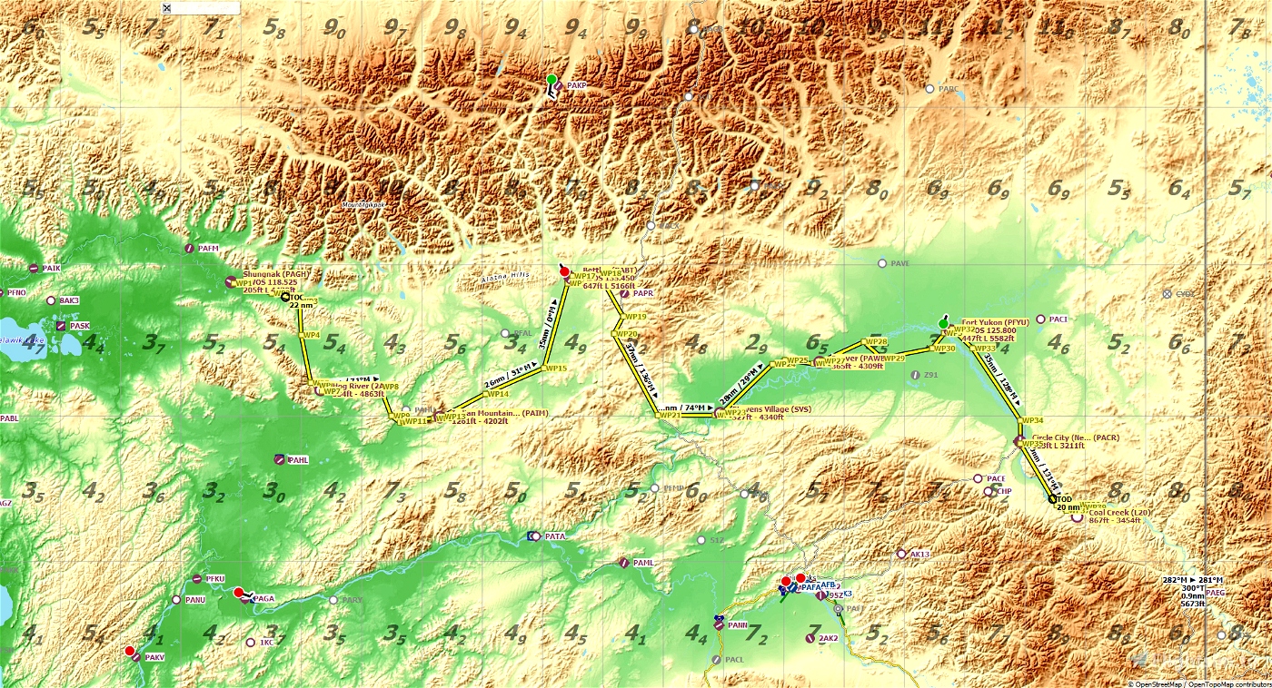
Our 519nm journey continues at Shungnak Airport (PAGH). We'll be flying over the Yukon Flats National Wildlife Refuge. The back half of our trip will bring us close to the Canadian border (sorry!) before our final landing at Coal Creek (L20).
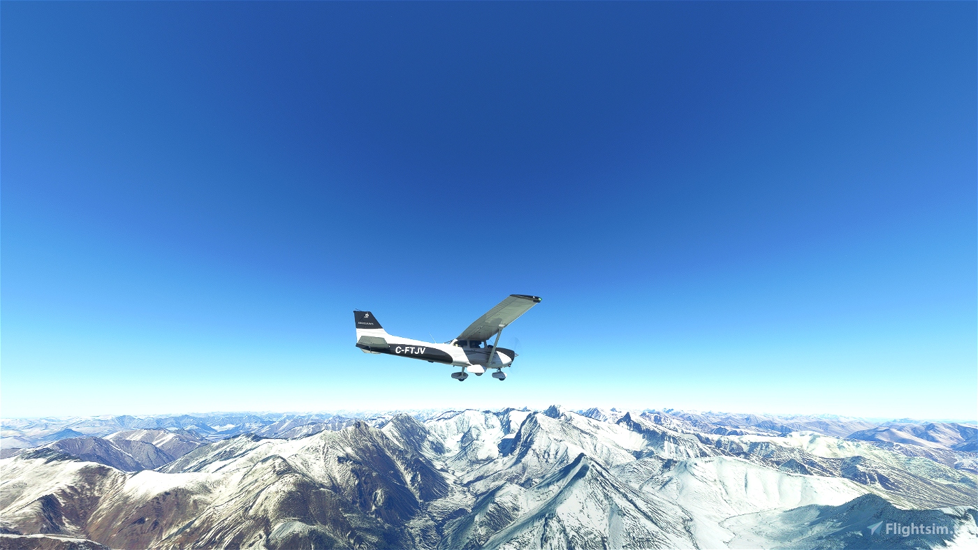
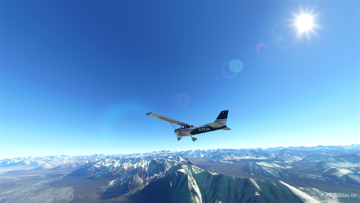
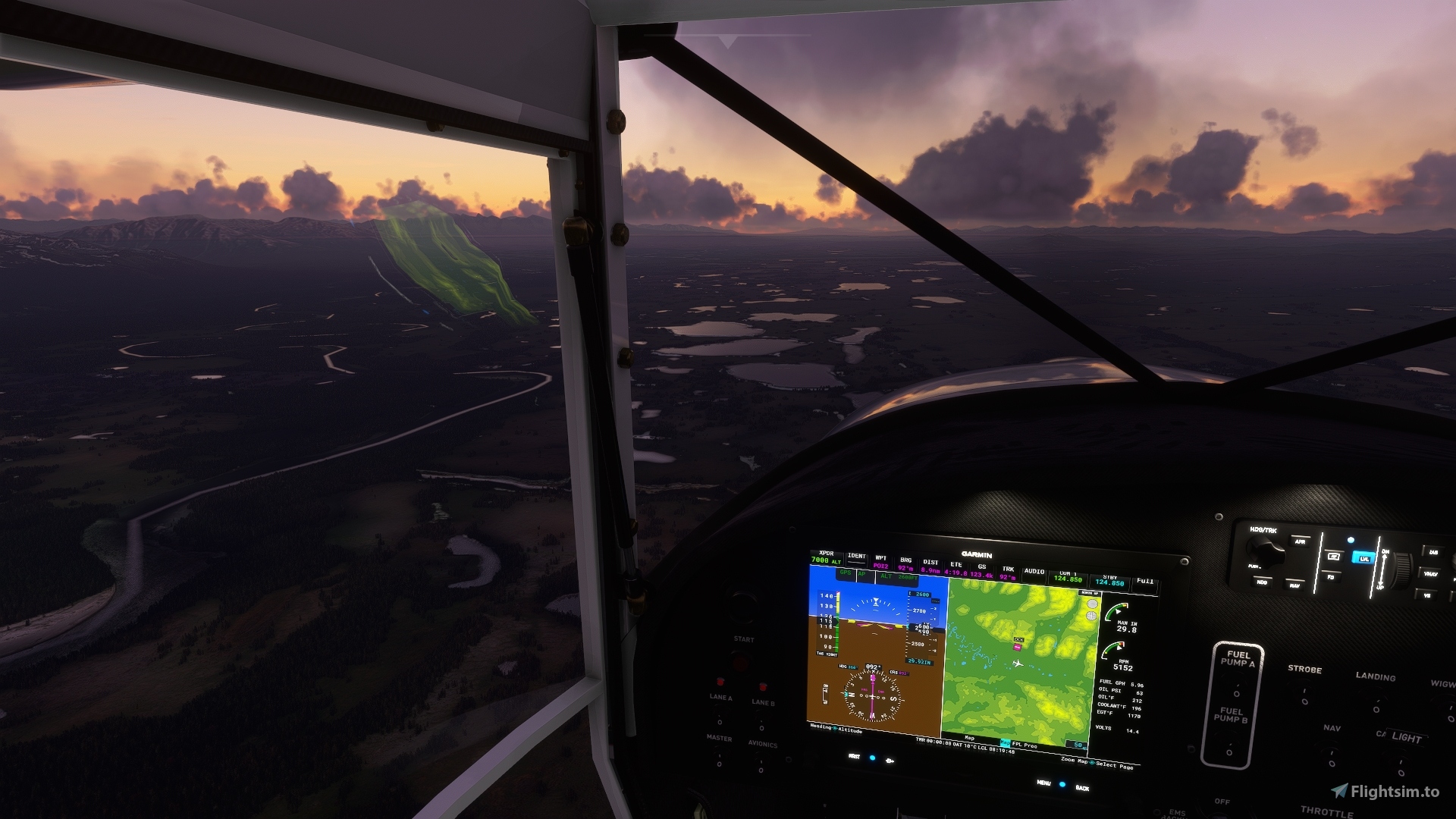
We recommend flying no lower than 7,500 feet to take in the breath-taking views, but you're free to fly at any altitude you want.
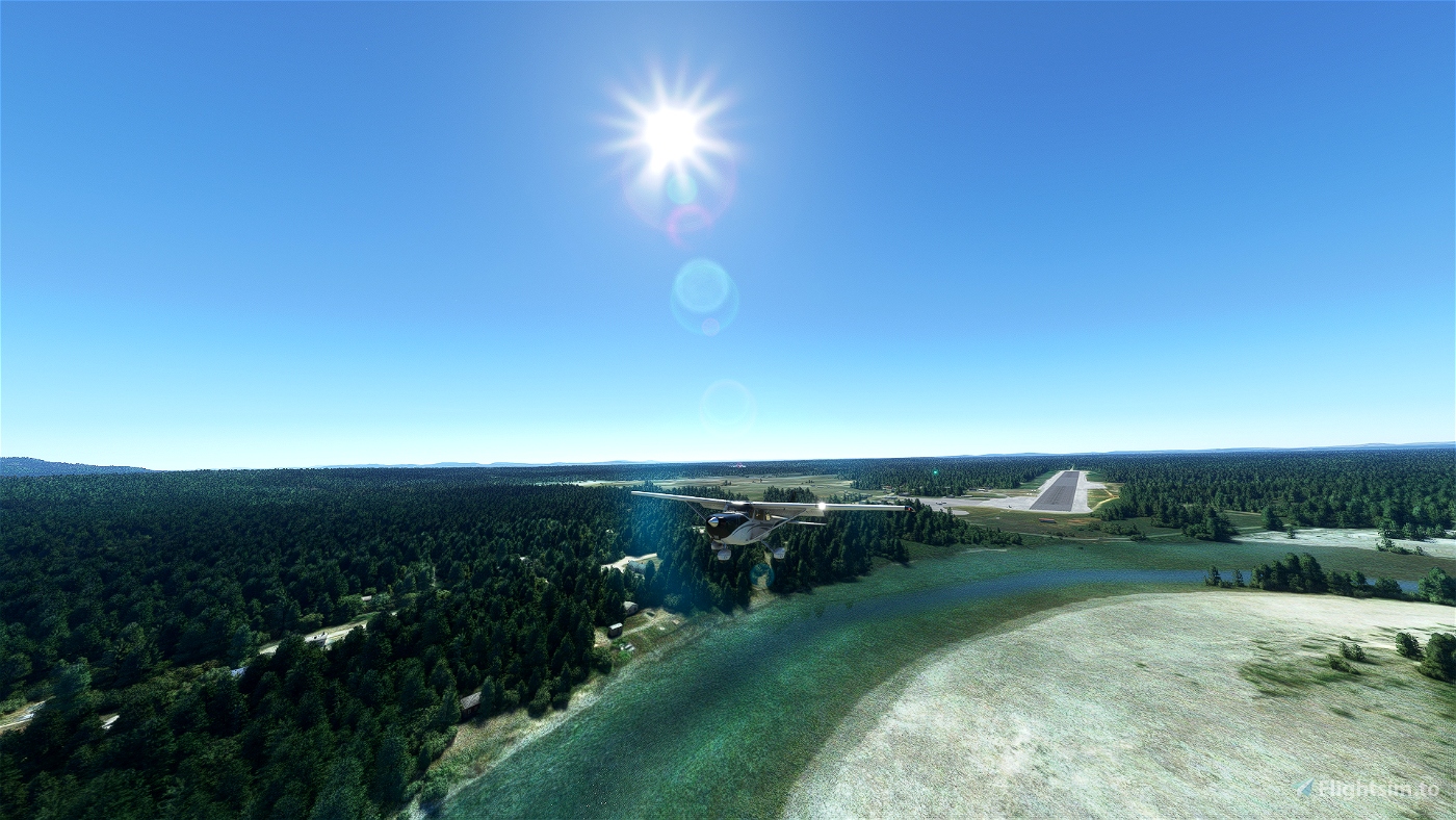
Your aircraft - a Cessna Skyhawk G1000 - is being refueled. Let's get her up and running, and let's go flying!
Installation
1. Download the archive and extract the files.
2. Drag the "mission-pagh-l20" folder to your Community folder.
3. That's it!
Necessary Addons
None required - just install and fly! This may change in future versions of this bush trip; click the "Follow" button below to be notified of any updates.
Recommended Addons
I highly recommend downloading the following add-ons:
- Fort Yukon - PFYU - Alaska by DADGAMETIME
Alaska Mesh from Orbx is recommended but not required to experience the beauty that is Alaska. You can purchase your copy here.
Need Help? Have Feedback?
Join my Discord to get updates on new bush trips as they are released/updated, share screenshots of your flight or find others to fly with: https://discord.gg/SUw4TtG6dJ
Credits
Lovingly created with BushTripInjector. Thank you, BuffyGC, for your incredible work.
Flight plan created, tweaked, and tweaked again and again with Little Navmap. Thank you, Alexander Barthel, for making it that much easier to explore our planet.

 8bitgamerdad


At POI 14 you say "turn left and fly NE to a large large" What is a large?
At POI 15 and 16 you say to fly Northeast . When flying to POI 16 you are flying a heading of 360 . Wouldn't that be North ?
2 years ago
Investigating. Will have a new fix uploaded shortly.
2 years ago
8bitgamerdad
sparky147
Hey dad , Has your Cessna got a turbocharger? Because I changed my plane to a Beech G36 and it's taking me longer to fly the legs than you have in your nav log . I have that thing wide open most of the way (about 165-170) . I think a Cessna is about 135 or so . And I'm using the AP to follow the GPS line , So why is it taking me longer than you say? , Not much Maybe 2 or 3 minutes , But if I'm flying about 30 knots faster than you why is it taking me longer? Just wondering what the reason could be ?
2 years ago
A C172 does 126kts at cruise in the sim (122kts IRL), so I'm just as stumped as you are re: leg times.
Can you give me a few examples of where you're seeing some glaring differences?
2 years ago
8bitgamerdad
sparky147
Thank you for the great bushtrip.But in this leg I can't find aiirport PAHU.
Any tips?
2 years ago
Hey starwolf. PAHU is located on the Koyukuk River, east of Lake Tokhaklanten: https://skyvector.com/?ll=66.06709009477694,-154.30819701995964&chart=301&zoom=5
2 years ago
8bitgamerdad
starwolf