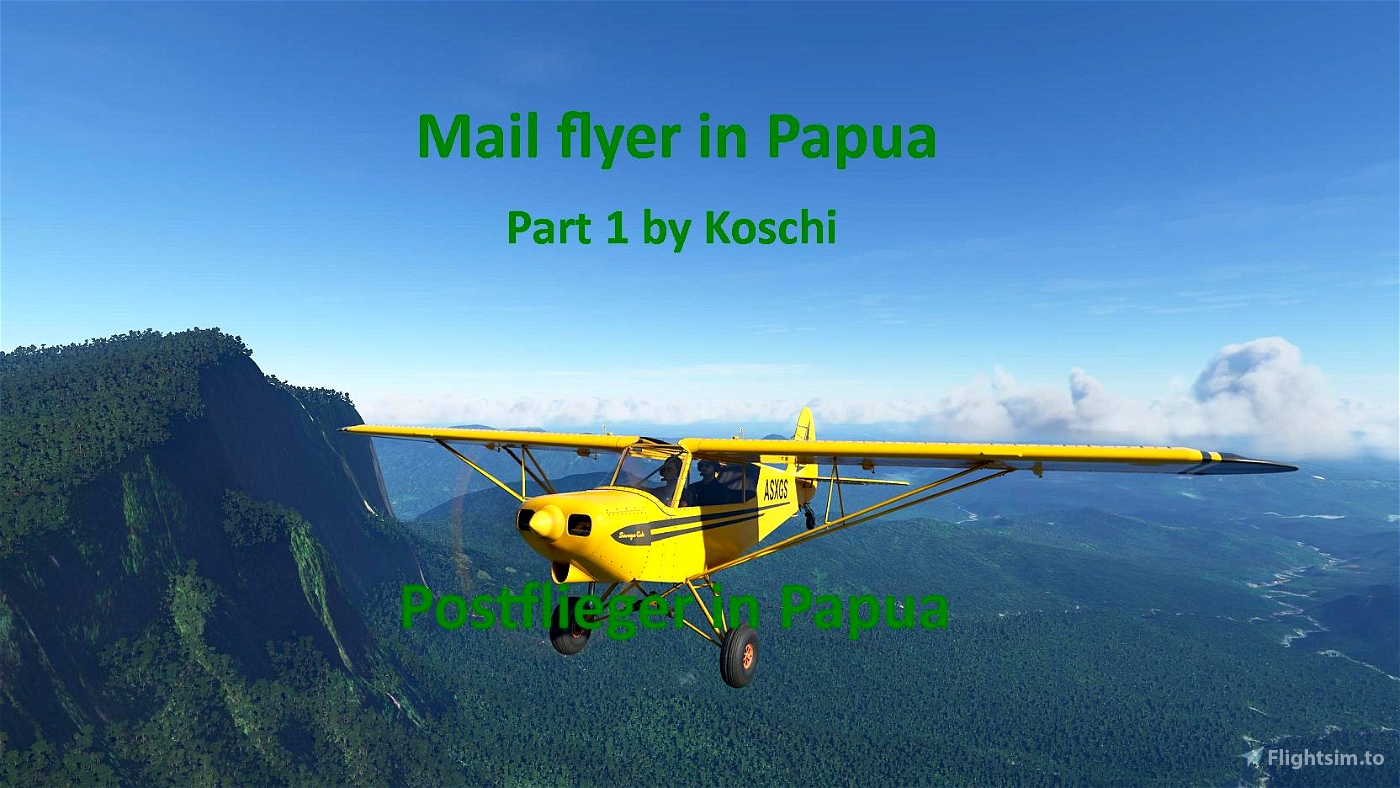

Mail flyer in Papua
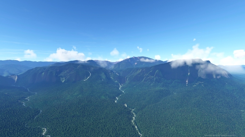
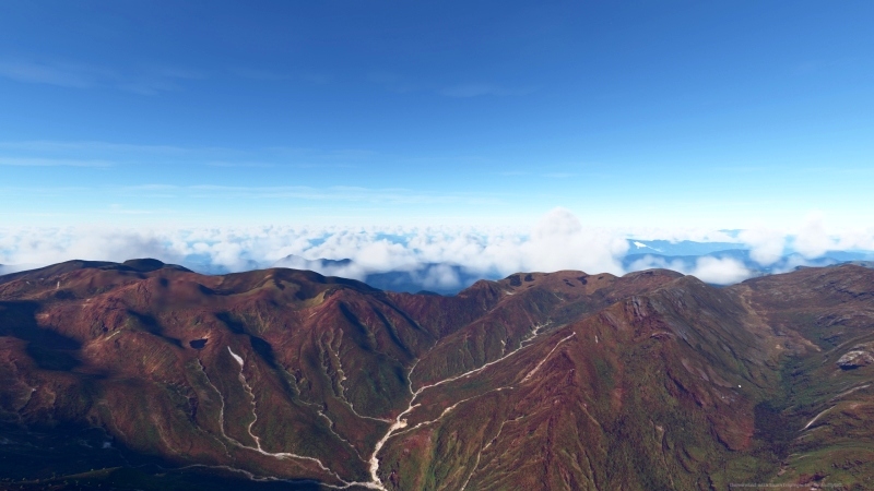
This is a real wilderness flight that requires all the skills of a bush pilot.
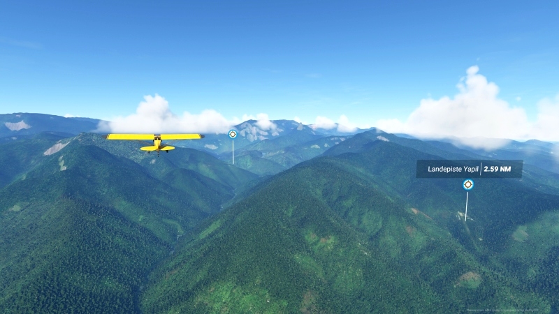
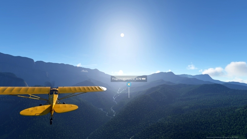
There are no electronic orientation aids, not even streets or towns to orientate by, not even a GPS. Mountains, valleys, rivers and sometimes a small village, hardly to be seen, in addition several landing strips, are your orientation possibilities. But the most reliable tool is still your compass, which can give you the orientation.
Fortunately there is good flying weather, the visibility is clear and the wind blows only weakly. Most of the runways can only be approached from one side. So you will also have to take off and land with a tailwind. The aircraft is loaded to its limits. So you have to brake carefully not to tip over in front. There is a little story about this at the beginning.
Specification:
- Short flights of 6-20 minutes.
- The package contains two parts, is multilingual and contains the flight plan for Little NavMap.
The basic language is German. All other languages are machine translated and may contain errors. If you have a better translation, feel free to send it to me. - The voice output (TTS) is only in English and can be read in the Navlog.
- The aircraft can be replaced with some manual work. Please read the exchange file. Alternatively, there is also the MissionChanger from BuffyGC.
Recommended addons:
Bush Divers Airport WAJO, Oksibil, Highland Papua by WhazoPremier
Munbil airstrip by wantok
Created with BushTripInjector by BuffyGC
Postflieger in Papua
Das ist ein echter Wildnisflug, der das ganze Können eines Bush-Piloten verlangt.
Es gibt keine elektronischen Orientierungshilfen, nicht einmal Straßen oder Ortschaften, an denen man sich orientieren kann, auch kein GPS. Berge, Täler, Flüsse und manchmal ein kleines Dorf, kaum zu sehen, dazu etliche Landepisten, sind deine Orientierungsmöglichkeiten. Das verlässlichtse Hilfsmittel aber ist noch immer dein Kompass, der die Orientierung geben kann.
Zum Glück ist gutes Flugwetter, die Sicht ist klar und der Wind weht nur schwach. Die meisten Pisten sind aber nur von einer Seite aus anzufliegen. Du wirst also auch mit Rückenwind starten und landen müssen. Die Maschine ist bis an ihre Grenzen beladen. Du musst also vorsichtig bremsen, um nicht vorn über zu kippen. Dazu gibt es noch eine kleine Geschichte am Beginn.
Spezifikation:
- Kurze Flüge von 6-20 Minuten.
- Das Paket enthält zwei Teile, ist multilingual und enhält den Flugplan für Little NavMap.
Die grundlegende Sprache ist Deutsch. Alle anderen Sprachen sind maschinell übersetzt und können Fehler enthalten. Wer eine bessere Übersetzung hat, darf sie mir gerne schicken. - Die Sprachausgabe (TTS) erfolgt nur in englisch und ist im Navlog nachzulesen.
- Das Flugzeug kann mit etwas Handarbeit ausgetauscht werden. Dazu bitte die Exchange-Datei lesen. Alternativ gibt es dazu auch den MissionChanger von BuffyGC.

 Koschi


I have done it again this time with the PC 6 really a fun one, Thanks for that bush trip.
3 years ago
CarlLapin
I did the trip with the Cessna Caravan.
3 years ago
Thanks for this comment.
3 years ago
Koschi
voodooboy
Hours of pleasures. Thanks,
3 years ago
3 years ago
Koschi
CarlLapin
3 years ago
3 years ago
Koschi
Skydog
That said, did you realise that except for a few airfields in Part 2 (Tumolbil, Munbil and Busilmil) all the airfields in your trips are across the border in the Indonesian province of Papua, not the country of Papua New Guinea. Perhaps the country tag should be Indonesia?
3 years ago
3 years ago
Koschi
robroy